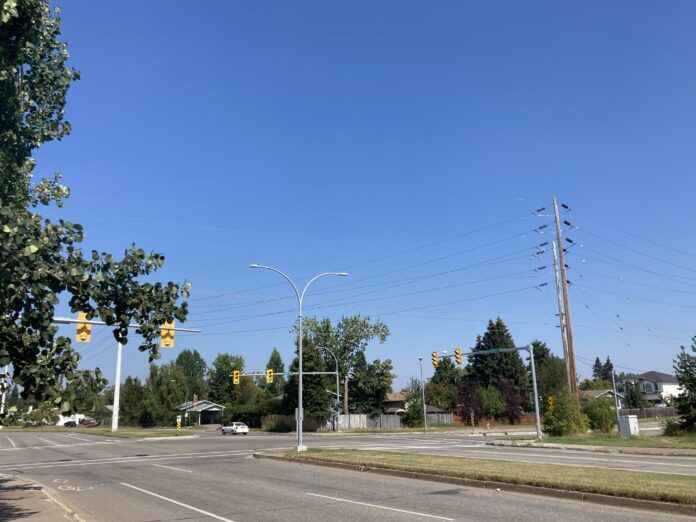
This Summer in the Prince George area has been mostly typical weather-wise.
According to Environment Canada Meteorologist Derek Lee, this Summer was just a tiny bit warmer than normal.
“If we zoomed out and looked at the months of the meteorological Summer (June, July, and August), we we’re just a degree above average,” Lee said.
“It’s ranking at the third-warmest August ever on record (in Prince George), with an anomaly of two degrees warmer than usual.”
Lee added we actually saw less precipitation than normal throughout those months, receiving only about 69% of the expected amount for the Summer.
“It was probably about a total of 120 millimeters, and the actual expected amount would be 177 millimetres,” Lee said.
According to Lee, we have two more days of warm weather, including today (Friday), before a disturbance comes back from the Pacific Ocean on Sunday.
“This disturbance will kind of dictate the next coming weeks,” Lee explained.
“By Sunday, we could see some more cloud and showers forming in the area. Don’t be surprised if we see a thunderstorm on Sunday as well as this airmass is quite unstable.”
Something going on in the Prince George area you think people should know about?
Send us a news tip by emailing [email protected].


