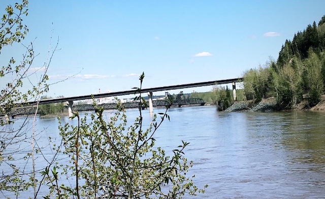
Prince George and the Upper Fraser East basin is the highest risk area in BC when it comes to flooding this year.
According to the April bulletin from the BC River Forecast Centre, the Upper Fraser East is 147% of normal, that’s an increase of about 12% when compared to the March forecast.
It’s an even more dramatic increase if you go back as far as February where it was 113% of normal.
Hydrologist, Jonathan Boyd spoke with MyPGNow.com.
“It’s been by far the basin in the province that has increased the most in the last two months and the Upper Fraser West is at a 129% percent of normal, which is a slight decrease from March 1st where it was 135% of normal.”
Boyd also outlined the worst-case scenario for our area during the spring months.
“The worst-case scenario would be to have additional rain as the river is peaking as we’re at the height of the potential flood, the possibility is there but we can’t forecast the weather beyond seven to 10 days.”
“When it comes to snowmelt related flooding it shouldn’t come as a surprise, it’s one to have a flash-flood caused by an intense rainstorm system, it’s another thing to know that the snowpack is extreme and is one of the highest in recent years and with that, it’s about being prepared.”
The northern capital is expected to see a gradual increase in temperatures starting on Sunday with a predicted high of seven degrees and it could get as warm as 19 degrees by Wednesday.
Boyd states a scenario such as that, is a lot more favourable in lowering any kind of flood risk.
“Let’s say hypothetically we went for five days where Prince George was 25 degrees what that would do is melt a lot of the lower elevation snow earlier and might benefit in the sense that we would see the rivers rise quickly but at this time, the rivers are very, very low relative to what they will be in late May or June.”
The Upper-Fraser West includes the Nechako River, upstream of Prince George, excluding the Nechako reservoir.
This includes the Notley River and the Stuart River.
In addition, the Nechako is 101% of normal, down three percent from March.
The next bulletin comes out on May 8th.
Something going on in the Prince George area you think people should know about?
Send us a news tip by emailing [email protected].


