Environment Canada says the warmer weather isn’t out of the blue.
Meteorologist Lisa Coldwells says Prince George is seeing its annual “January warm up,” an expected warmer week this time of year.
She says the current conditions are caused by warm, wet weather from the coast. She anticipated an overall warmer winter because of El Nino.
“We were expecting, on the long-term average (a whole month when you’re looking at all the temperatures) you probably end up with a month that is above normal,” she says.
She expects temperatures to cool on Friday, and be back to normal by Monday.
“The beginning of next week, first of February shows a return of some modified arctic air. Sunnier skies but cooler temperatures, the daytime high is not looking above minus 7 or minus 8.”
Wednesday’s high of 7.3 was well shy of 1934’s record high of 11.7 degrees.
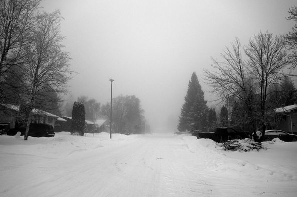
The photo was taken from the BC Government’s Flickr account.
Something going on in the Prince George area you think people should know about?
Send us a news tip by emailing [email protected].


