Prince George could see its current high streamflow advisory upgraded to a flood watch within the next two weeks.
According to BC’s River Forecast Centre, we’re heading into a fourth consecutive week of above normal temperatures in the North.
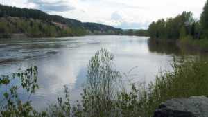
As a result, Spokesperson Dave Campbell explains the Fraser River is rapidly rising because of our higher elevation.
“Upstreams through Prince George and Quesnel are getting higher, and there is a concern as well through areas the Bulkley Valley and Lakes District. This water has been working its way down stream and it’s very much a complex river system and unpredictable almost 100% of the time.”
He adds is this trend continues, extreme heat could wave through the City, which makes things worse for homes and businesses along the river banks.
“As we go through the latter-half of this week, we’ve got a big potential of getting to that flood stage or above into this weekend. In fact, some of the local in-flows are quite high as we come out of the Cariboo Mountains. So, certainly the next seven to 10 days is going to be most critical.”
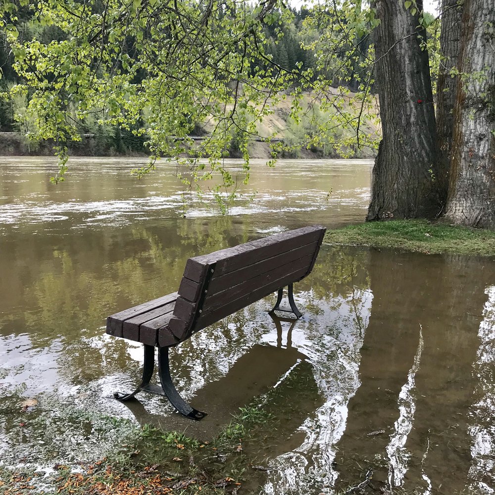
Currently, the City of Prince George has closed Cottonwood Island and Paddlewheel Parks due to overflowing on trails and bridges, and have also opened its Emergency Operations Centre at a Level One precaution.
The Regional District of Fraser-Fort George (RDFFG) still has an evacuation alert in effect for nearly 40 properties along Upper Mud River Road.
For more information, you can click here.
Rising water levels forces #cityofpg to close Portions of Cottonwood Island Park | https://t.co/Ny3uCegkbA #BCStorm pic.twitter.com/qxUzJCHjba
— My Prince George Now (@mypgnow) May 9, 2018
Something going on in the Prince George area you think people should know about?
Send us a news tip by emailing [email protected].


