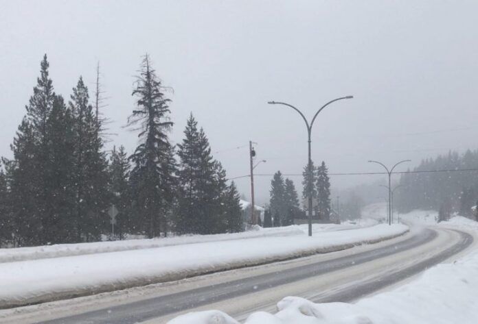
Snow-covered and glacial are probably the two best words that will describe the Prince George area over the next few days.
According to Environment Canada Meteorologist Colin Fong, several systems of snow will make its way through the northern capital from Wednesday to Friday.
“Where we can expect snow to begin in the afternoon and then ramp up to heavier snow by Wednesday night. The weather will remain active as we head into Thursday and Friday as a series of storms will follow this initial storm that is coming.”
“The snowstorm is actually already here. It is sitting along the northern part of BC bringing snow to that area such as Burns Lake, Dease Lake and the Bulkley Valley region.”
After that, temperatures will drop to about 20 degrees below normal with overnight lows dipping to -30 while daytime highs will jump between -16 and -19.
“And that cold air will come in the form of cold and brisk northerly winds and as a result, we are going to see a big temperature swing going from a high of plus one on Friday to a high of -16 on Saturday, about a 17-degree difference.
Fong adds it’s not certain how long the cold snap will last.
The Environment Canada Prince George forecast can be found here.
Something going on in the Prince George area you think people should know about?
Send us a news tip by emailing [email protected].


