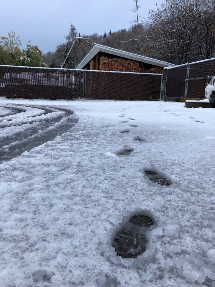
Warm and wet best summed up December in Prince George according to Environment Canada.
Meteorologist, Chris Doyle told Vista Radio it was quite balmy to say the least.
“The mean temperature was -1.9 and normally it is -7.2 so it was over five degrees warmer than average in December, which is pretty significant as it is the seventh-warmest December on record.”
The northern capital saw 89.3 millimetres of precipitation last month – double what normally falls for this time of year where the mark is 44.
For the first time this winter, PG is crawling out of its first cool spell, which is expected to subside by Sunday with predicted daytime highs of minus seven before trending upwards for the majority of next week.
“As we get into early next week Monday through to Thursday temperatures will rise to significantly above normal so we are getting close to zero for daytime highs for Wednesday and will get to about minus four at night.”
A few centimetres of light snow could be in the cards between Saturday night and Sunday morning.
For the remainder of January, Doyle expects the warm trend to continue until the end of the month when another strong blast of arctic air from the Yukon will make its way to Prince George.
Something going on in the Prince George area you think people should know about?
Send us a news tip by emailing [email protected].


