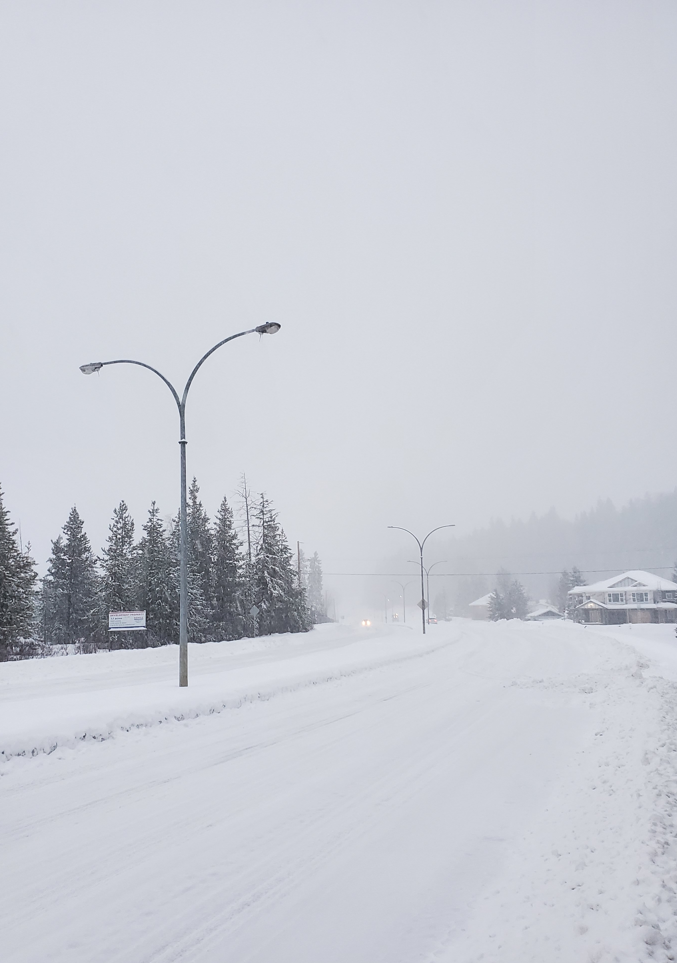
Seasonal but snowy is probably the best snapshot to describe November in Prince George.
According to Environment Canada, the average temperature for the entire month recorded at YXS was – 3.2 degrees – the normal is -2.5 but it still falls in line with the 30-year average.
If we look at the extremes from coldest to warmest November’s on record – the chilliest was in 1985 when the mean temperature was -15.4 degrees.
On the flip side, the warmest in the northern capital was way back in 1917 as the mean was plus 5.6 degrees for the entire month.
As for the snow, Meteorologist, Trevor Smith told MyPGNow.com the northern capital saw triple the amount we normally get for this time of year.
“A couple of sites in and around Prince George provided our best guestimate on the ground where it came out to 27 centimetres on November 30th of 2024. That compares to the average of nine centimetres on the ground typically during November. Basically, it’s three times as much snow as we normally see in November.”
After a brief warmup, it will feel a little more seasonal early to mid-next week with daytime highs dropping below zero and overnight lows ranging from minus five to ten.
“It’s not cold by any means but as we get into Sunday to Wednesday of next week we will see highs probably dropping below zero so daytime highs might be zero to minus four and then overnight lows in the minus five to ten range.”
For much of December, Smith isn’t seeing a strong signal either way for above or below normal conditions – however, over the next three months, the La Nina pattern is expected to be more prevalent bringing cooler weather in January and February.
Something going on in the Prince George area you think people should know about?
Send us a news tip by emailing [email protected].


