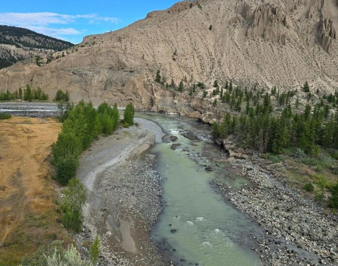
Evacuation alerts remain in place along the Chilcotin River due to a large landslide that created a dam around 70 kilometres west of Williams Lake.
The province’s largest concern is the large buildup of water and debris washing downstream all at once if the dam were to let loose suddenly, however, they say that is not the most likely outcome.
In a provincial news conference this afternoon (Friday), Minister of Climate Change and Emergency Readiness Bowinn Ma said “Current modelling indicates overtopping of the dam is more likely than a sudden release or break of the dam,” but “depending on the distribution and nature of the overtopping flow, the impacts could still be significant.”
There is no timeline on when the buildup could start to release, but Ma said the province’s latest models say if the dam does suddenly break, it would take 12-24 hours for the water to wash downstream into Hope.
“There will be time to alert people at risk along the way if they must evacuate,” said Ma, and that these alerts would be issued via a BC Emergency alert sent to cell phones, radio, and television.
“These alerts are only issued when there is an extreme risk to public safety, so if you receive one please take it seriously,” she said.
However, Ma also said “at this time our modeling does not indicate a likely need for mass evacuations. This is based on information that is actively being developed, and we need people to be prepared for a worst case scenario.”
Connie Chapman, Executive Director of Water Management for the Ministry of Water, Land and Resource Stewardship, said the landslide is roughly 1000 meters long, 600 meters wide, and 30 meters tall, and water has formed a lake from the dam spanning 11 kilometers back.
“We are much better positioned today in our understanding of the nature of the slide and its potential impacts,” Minister of Water, Land and Resource Stewardship, Nathan Cullen said at the conference. “We now have monitoring equipment and time-lapse cameras sending updated images throughout the day.”
You can find a 3D model of the landslide area here.
Something going on in the Prince George area you think people should know about?
Send us a news tip by emailing [email protected].


